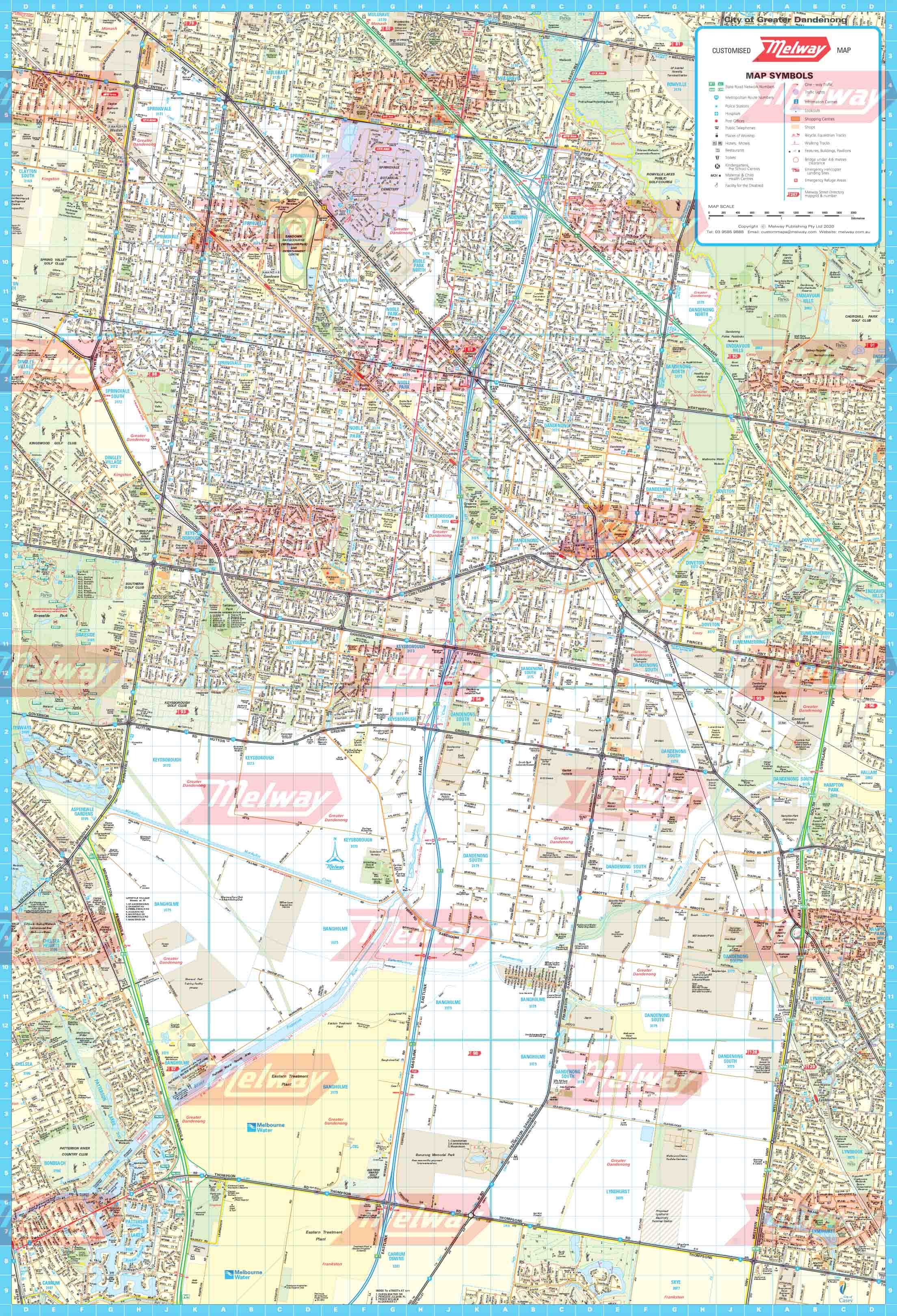
Melway Greater Dandenong Council WallMap
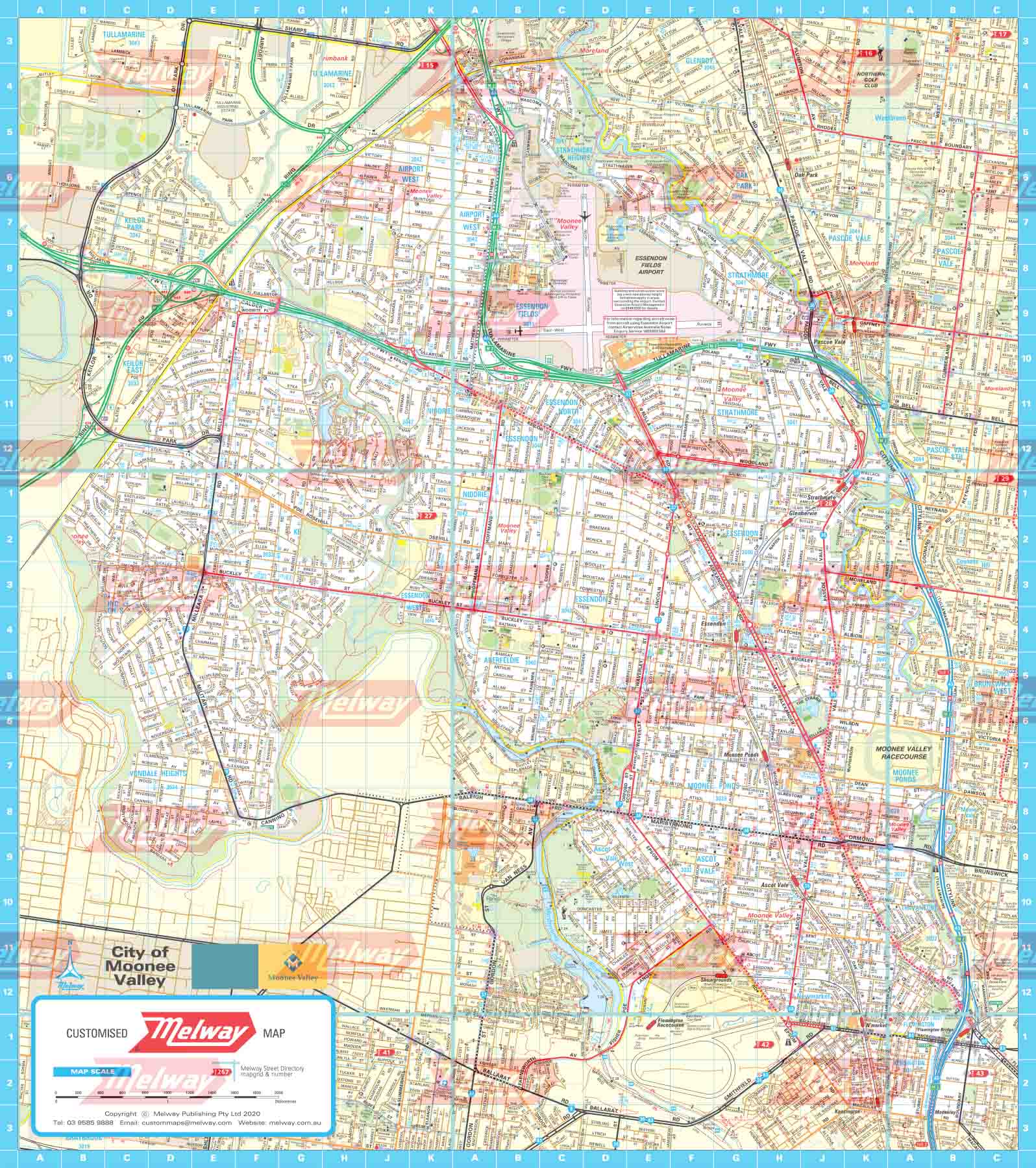
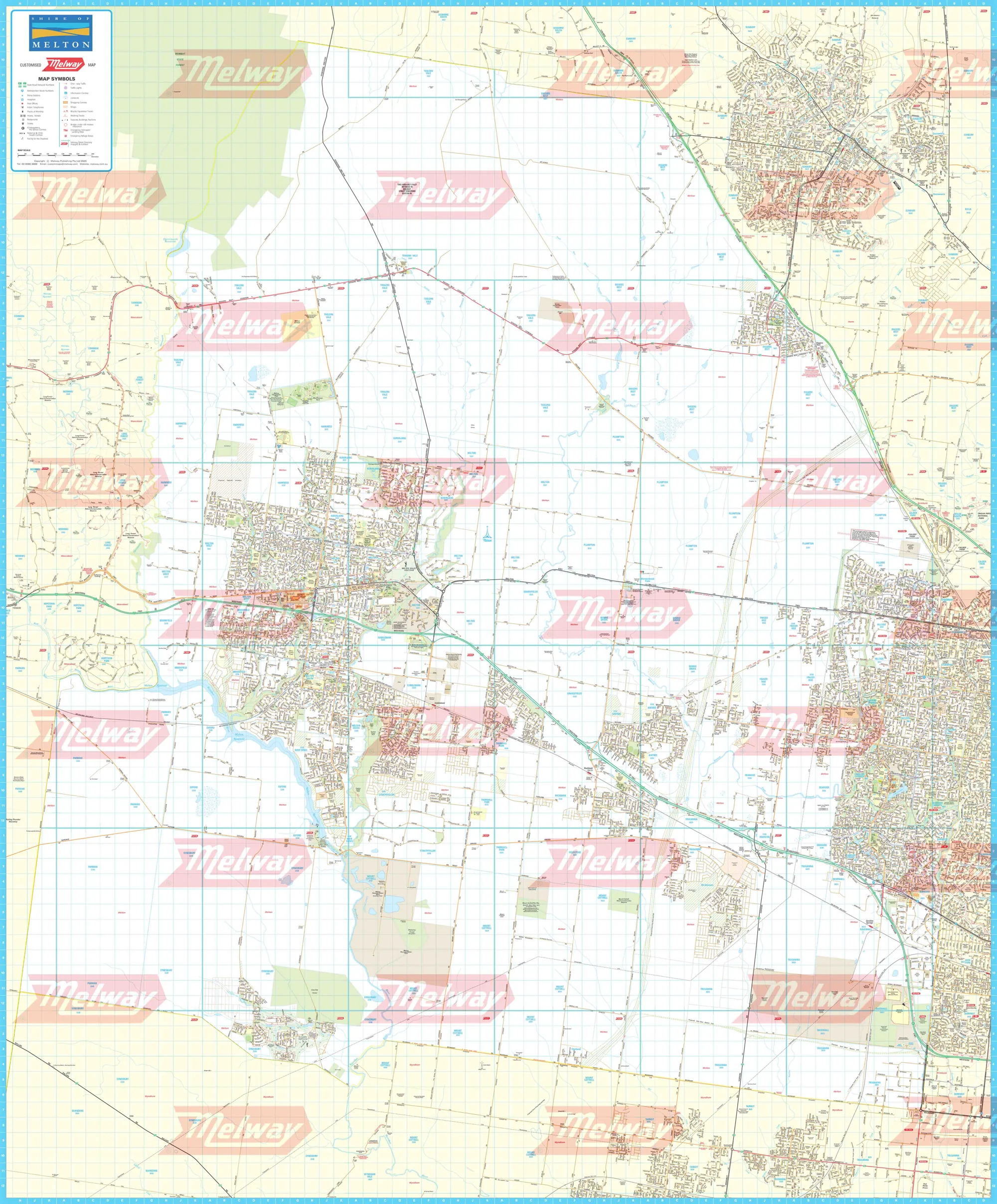
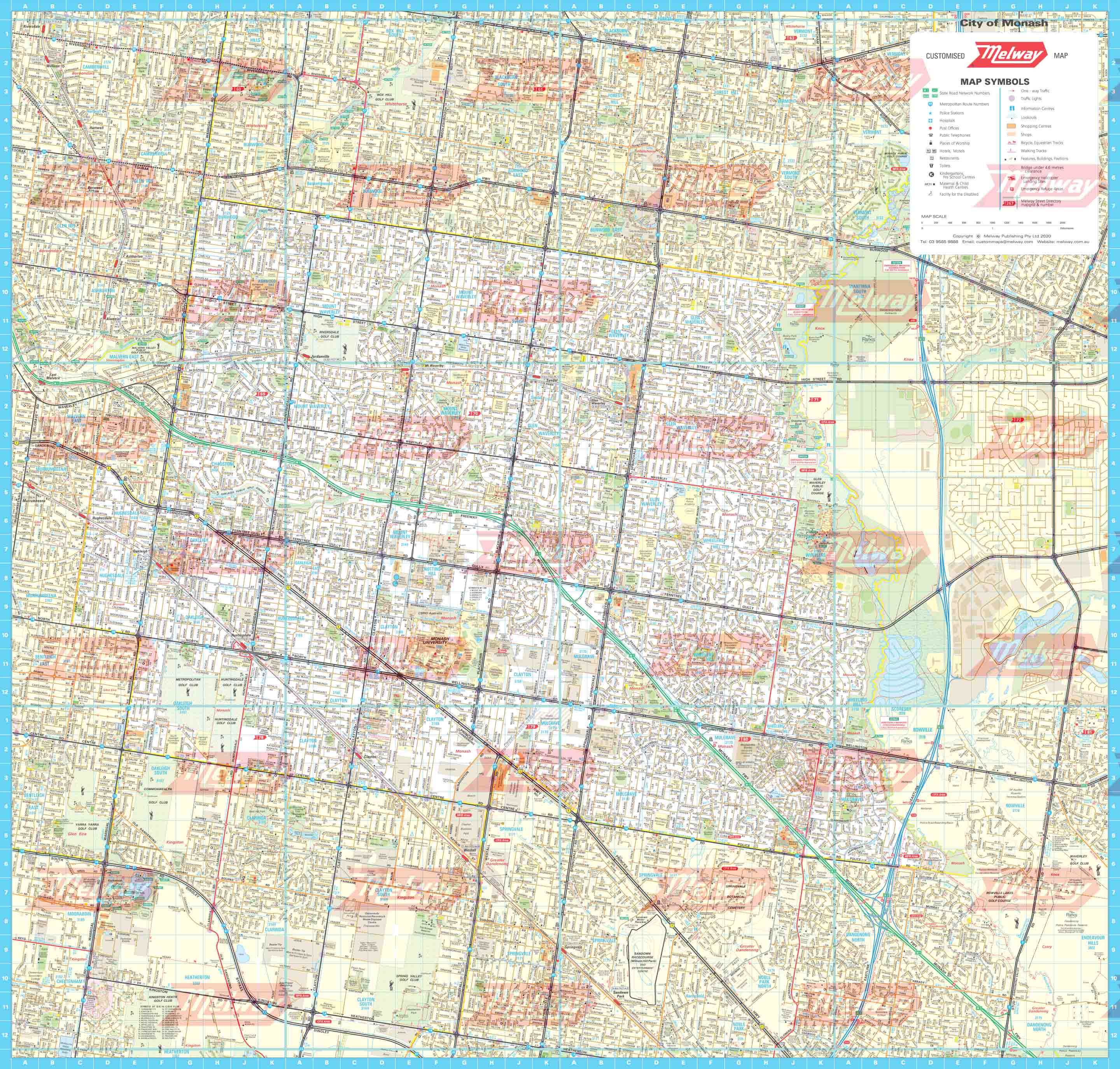
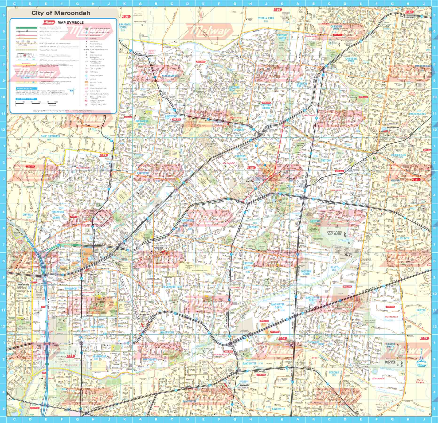
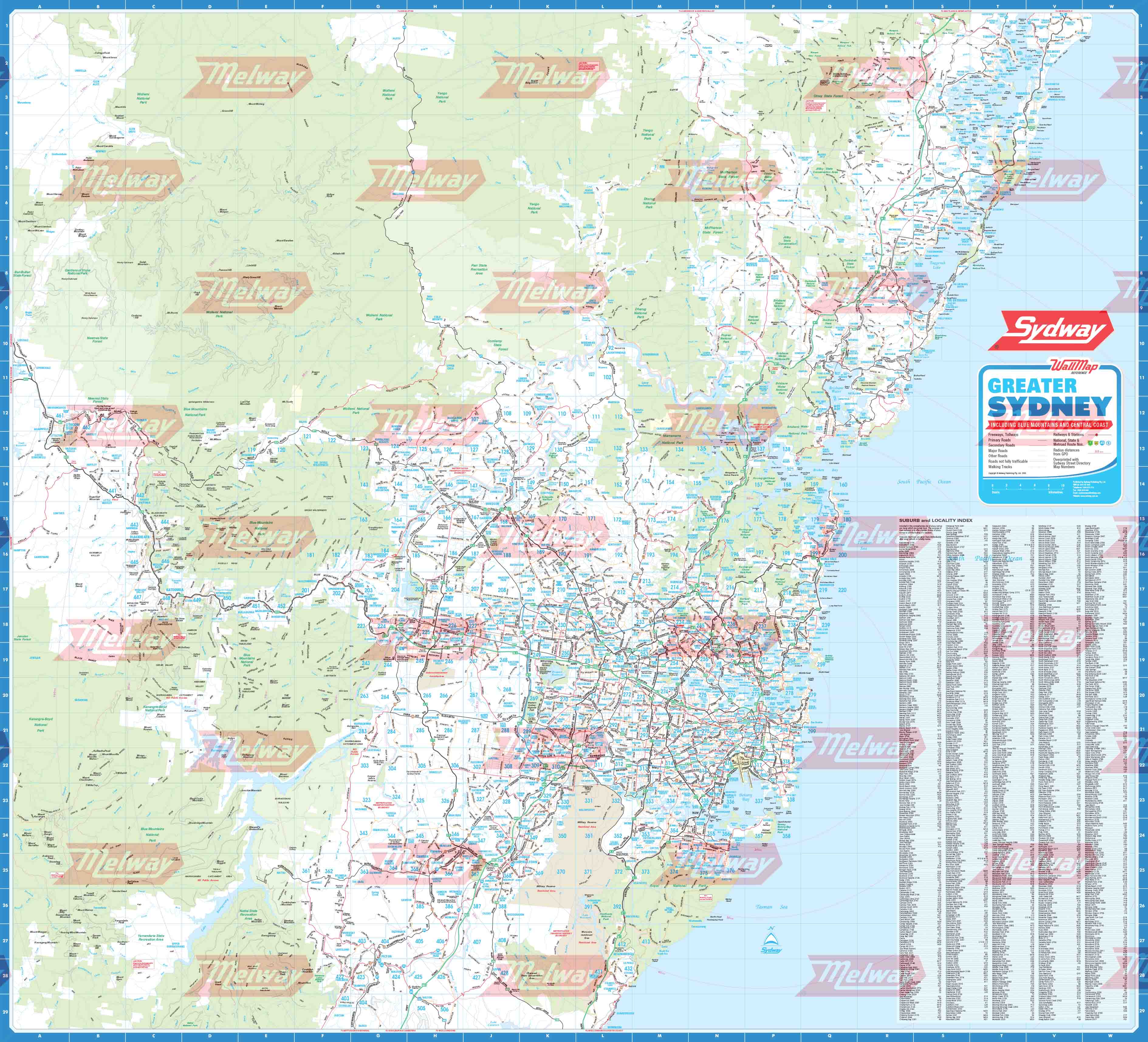
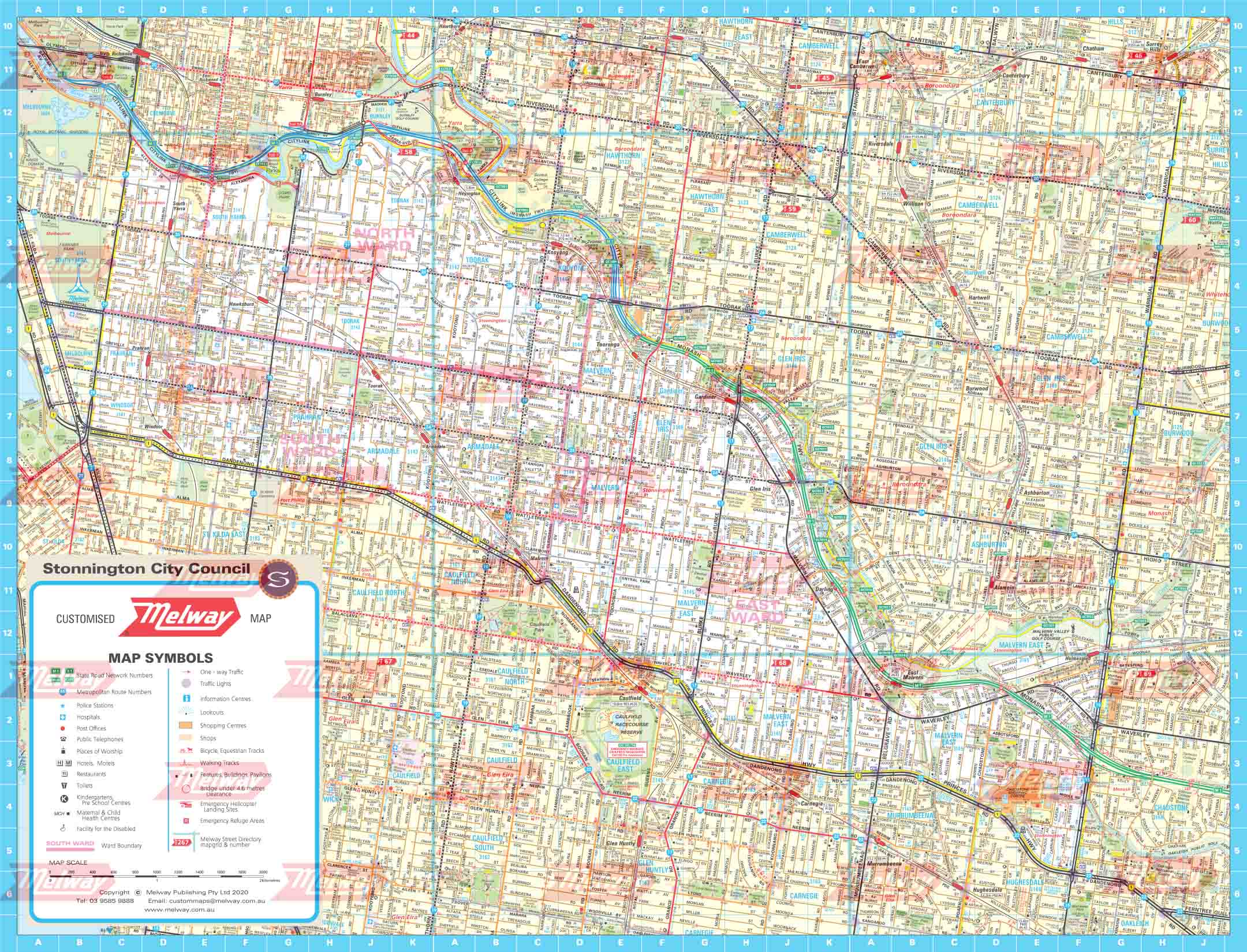
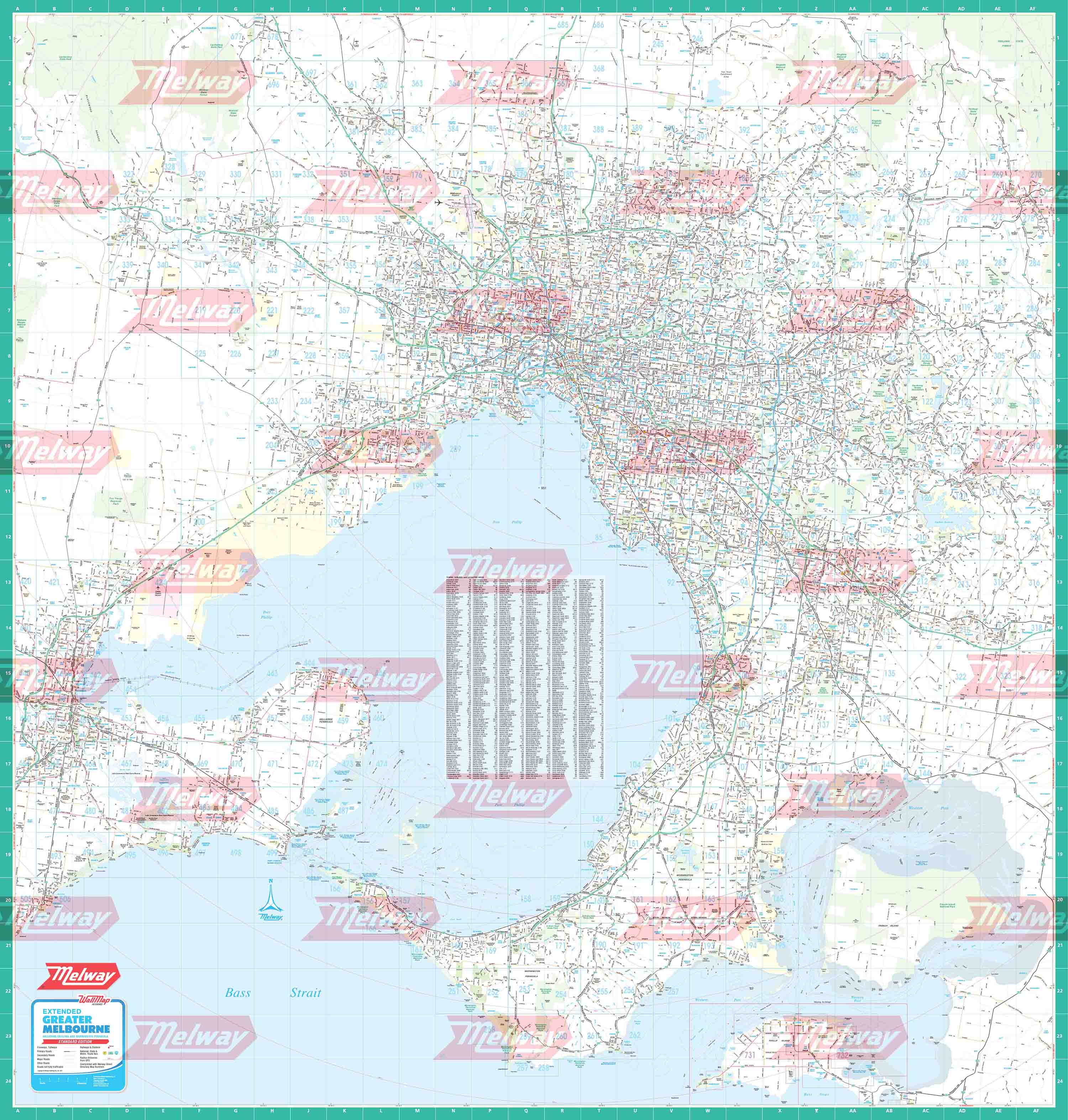
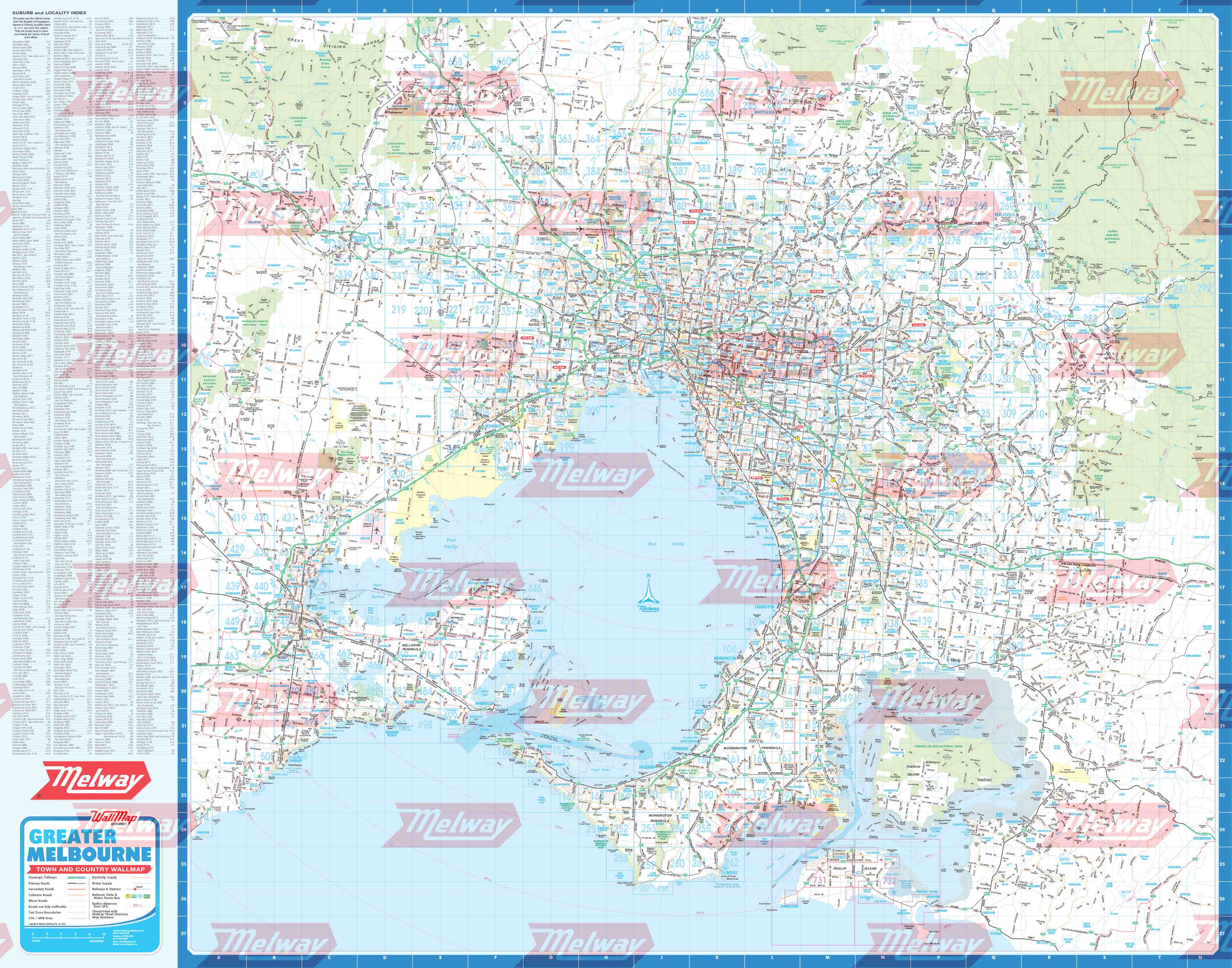
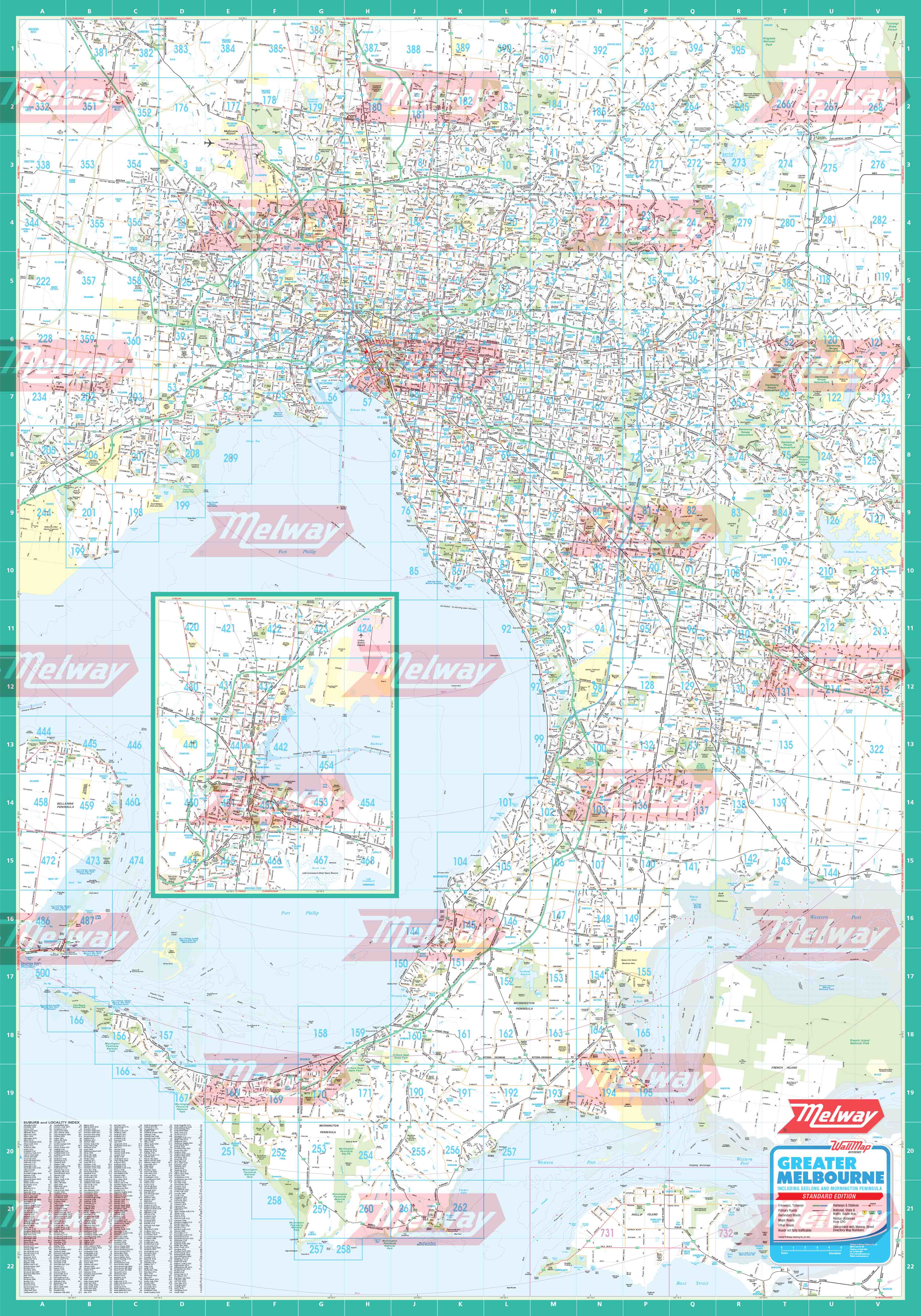
Greater Dandenong Council WallMap is compiled from the blue border maps in the latest Melway, showing the municipality boundary.
The Melway alpha-numeric grid reference is printed around the edge and a map number icon easily identifies the relevant maps. The area outside the municipality is shown with a light yellow backdrop to further highlight the boundary. The map is printed in high resolution on quality paper in full colour. This is a premium product for the workplace or simply a great gift idea. Approx size 910mm (h) x 620mm (w) Scale 1:20,000 You can have the map laminated for extra protection at an additional cost.
Original: $132.76
-70%$132.76
$39.83Product Information
Product Information
Shipping & Returns
Shipping & Returns
Description
Greater Dandenong Council WallMap is compiled from the blue border maps in the latest Melway, showing the municipality boundary.
The Melway alpha-numeric grid reference is printed around the edge and a map number icon easily identifies the relevant maps. The area outside the municipality is shown with a light yellow backdrop to further highlight the boundary. The map is printed in high resolution on quality paper in full colour. This is a premium product for the workplace or simply a great gift idea. Approx size 910mm (h) x 620mm (w) Scale 1:20,000 You can have the map laminated for extra protection at an additional cost.